Downstream Uses of BIM

 We held a great BIMbc Vancouver meeting last week. Simon Yew, CAD/BIM Specialist with IBI Group, shared workflows that use publicly available Geographic Information Systems (GIS) data from the City of Vancouver Open Data Portal to get topography without having to wait for an official survey. Simon emphasized the value of getting information that is good enough to get started, then being able to update it quickly with the real thing afterwards. A benefit of his workflow is that you can use older versions of Revit and it still works. Be sure to check out the following materials from his presentation:
Presentation Slides (.pdf)
Workflow Handout Extract Surveyor Points (.pdf)
John Young, Low Tension Systems Designer at AES Engineering was the second presenter. John showcased various samples of their lighting focused visualizations, including gaming engines, and a Grasshopper/Rhino workflow he used to also harvest open data from the city to create context models. You had to be there, but he also taught the audience how to walk on water and jump into the pool without getting wet!
Presentation Handout (.pdf)
Be sure to attend the next meeting on May 19th, which will feature BIM Track and a back to basics discussion of What is BIM? and What does it really mean to all the people involved? Be sure to sign up to receive email announcements for future meetings.
Related Posts
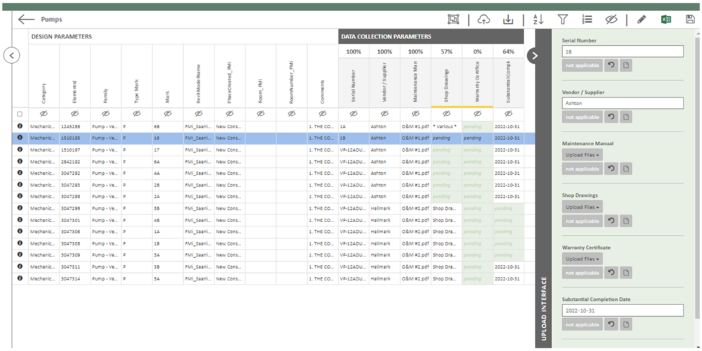
Data Collection through Construction

Coming to Canada: A BIM Consultant’s Journey
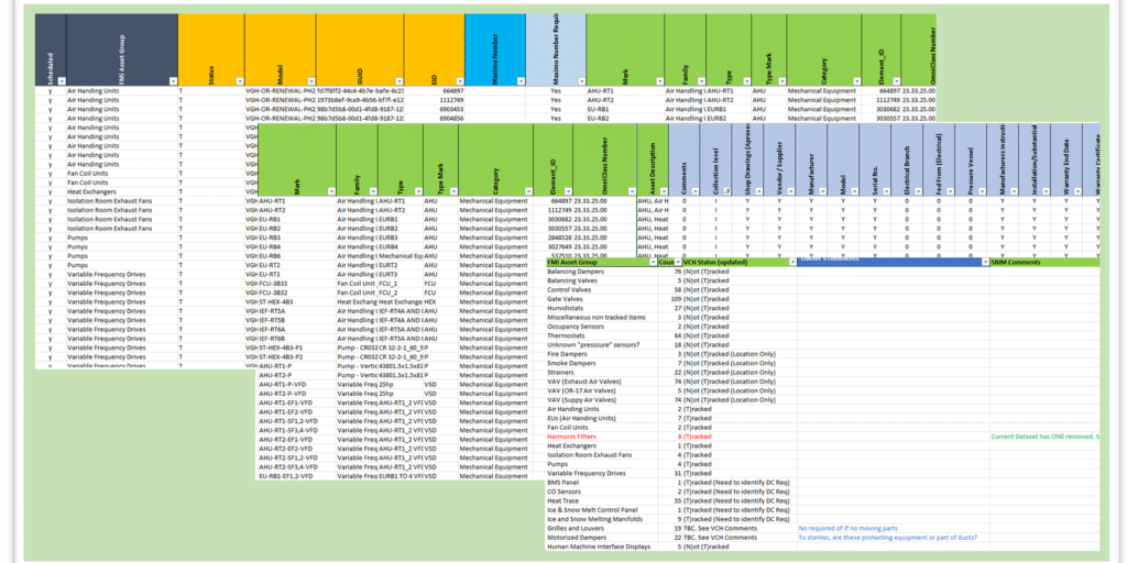
BIM and the Art of an Asset Registry
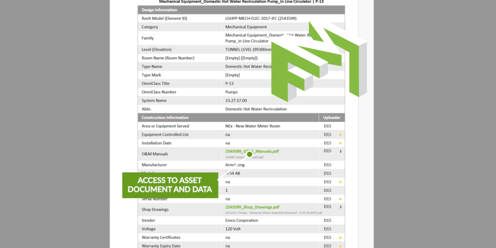
Digital Handover – a less stressful solution
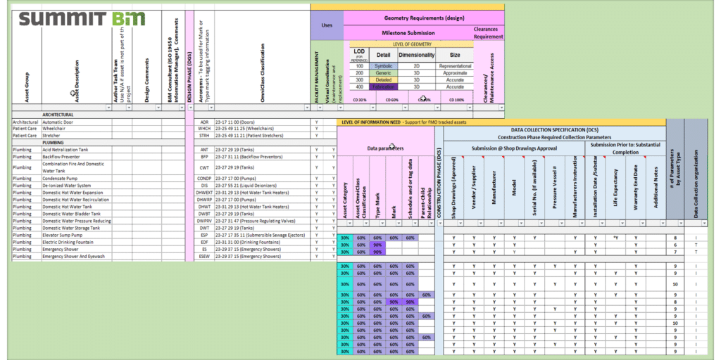
DGS/DCS Evolution – A Retrospective
Data Visualization and Collection for FM Handover

Data and Document Collection for FM Handover
